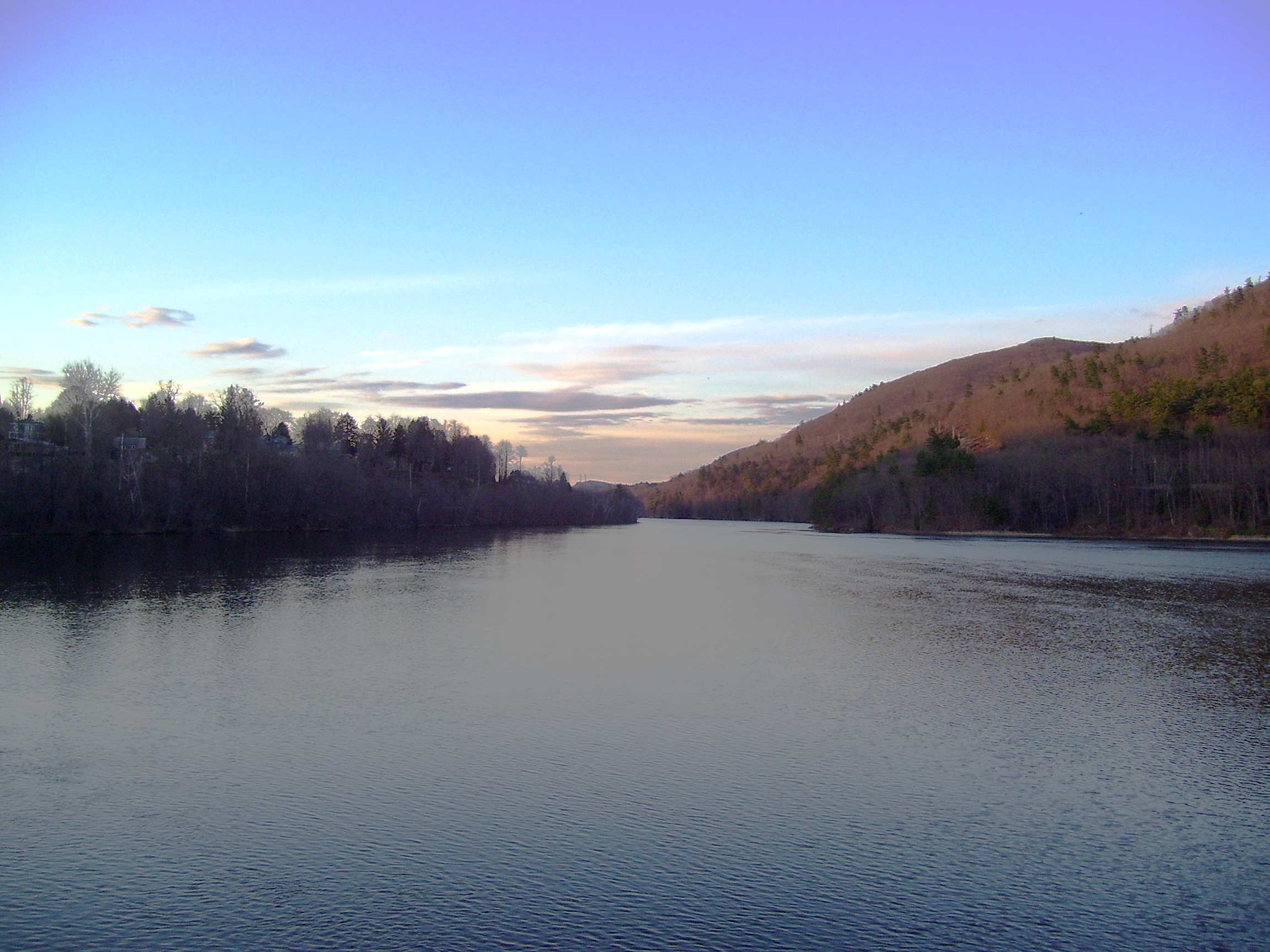
With warmer weather around the corner, you’re probably already making a list of things you want to do this summer. And, if you’re like a lot of people who love the outdoors, you’re hoping to squeeze in a multi-day paddling trip.
When considering long-distance waterways in the Northeast, a few popular ones always come to mind – the Allagash Waterway, Northern Forest Canoe Trail, Maine Island Trail. But one that seems to slip under the radar is the Connecticut River Paddlers’ Trail.
Paddlers on the Connecticut River. (Noah Pollock Photo)
The Connecticut River Paddlers’ Trail is a series of primitive campsites and river access points stretching more than 400 miles from the river’s headwaters in New Hampshire’s Connecticut Lakes down to Long Island Sound. While most of the river shore is privately owned, a number of generous landowners have agreed to host the public at primitive campsites on their land.
The northern reaches of the river are remote and wild, and the entire trip through Vermont, New Hampshire, Massachusetts and Connecticut is filled with fantastic scenery and enjoyable paddling.
Windyhurst Campsite in Walpole, New Hampshire. (Noah Pollock Photo)
On the Connecticut River Paddlers’ Trail website you can plan your own excursion. The site lists access points and information on campsites along the length of the river. It also recommends several trips, from day paddles to 4-day excursions. Check it out at www.ConnecticutRiverPaddlersTrail.org.


