
Mount Magalloway might be the best kept hiking secret in New Hampshire.
Located in Pittsburg, New Hampshire, in a region known as the North Country—the northernmost stretch of the Granite State—Magalloway’s remote location keeps it from becoming overcrowded like many White Mountains peaks. If it was farther south, it would be packed, because the short climb makes the summit accessible to all hiking levels, and the views from the top are as breathtaking as any you’ll find in New England.
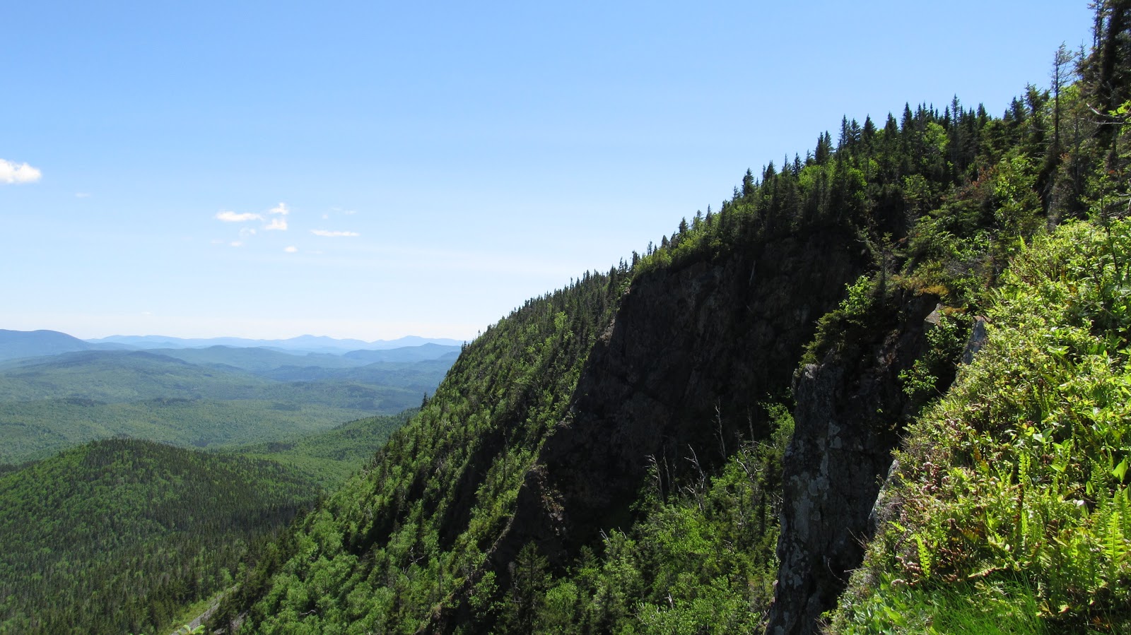
Standing 3,383 feet high, Mount Magalloway is found east of First Connecticut Lake. Atop its summit is a fire tower where hikers can enjoy expansive views over the pristine wilderness below and gaze into the distance at the White Mountains, Vermont, Maine and Quebec.
Hikers can choose from two trails that climb to the top of Magalloway, and combining the trails makes for a great loop hike that runs just over two miles.
The Coot Trail is roughly .8 miles and climbs 800 feet from the trailhead to the summit. It follows an old fire warden’s Jeep road, and it has a few rough, eroded areas with some steep sections.
The Bobcat Trail is almost the same distance and meets the Coot Trail just below the summit. The Bobcat Trail offers better footing than the Coot Trail. It also features a great view of Second Connecticut Lake along the way.
To reach both trailheads, visitors should drive north on Route 3 to Magalloway Road on the right. From there, follow Magalloway Road for 5 miles before turning at the sign for Mount Magalloway and continuing another 3 miles. The trailhead is located at the end of the road.